Arrival Grazalema
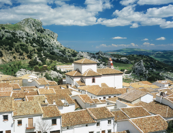
From the airport of Malaga you can take a bus direct to Grazalema, or first to Ronda and then continue by taxi to beautiful mountain village Grazalema. At your hotel you will find at reception an envelope with the hiking map of Grazalema, the vouchers for the hotels, and the city map of Ronda. If you have arrived early enough, you can have a stroll through this charming village. It is interesting to see its typical streets, the viewpoints, the Roman fountain...
Grazalema, circular route
A taxi will bring you after breakfast to the mountain village of Grazalema.
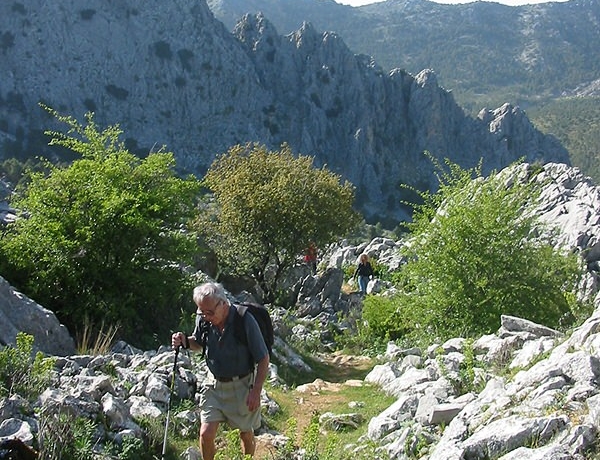
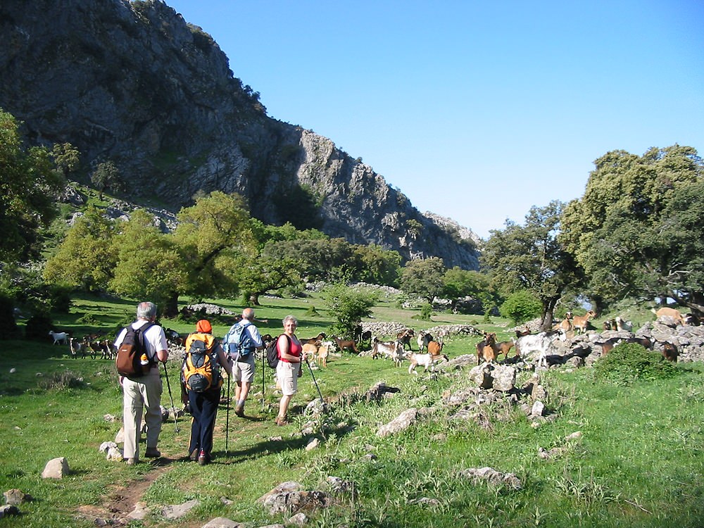
This circular route takes you to the heart of the nearby Sierra del Endrinal. The remains of shepherds’ refuges (huts and corrals) tell you about the importance that stockbreeding has had (and still has) in this region, an activity that stands out in the cheese made of the milk obtained from the local payoya sheep breed. You will slowly climb to the Puerto de las Presillas (1250 meters altitude) and continue to the the Boyar viewpoint where you will be able to enjoy marvelous views of the mountains and see the ionic Salto del Cabrero. Later you can have a stroll through the charming village of Grazalema. It is interesting to see its typical streets, the viewpoints, the Roman fountain... and the little shops where they sell the typical goat cheese. Buy already your picnic for tomorrow!
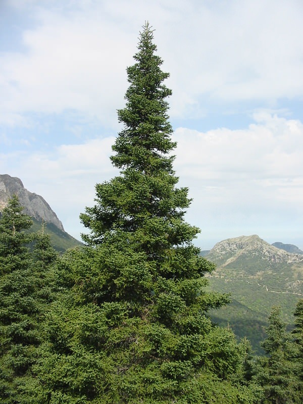
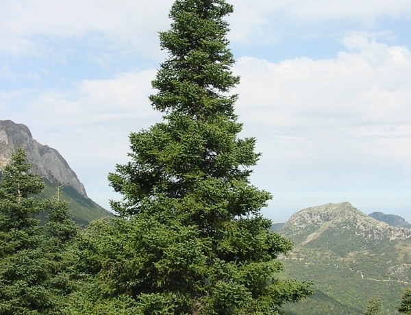
Grazalema-Benamahoma through the Pinsapar forest (14 km)
The “Pinsapo” (Spanish Fir) is a species of fir native to southern Spain and Morocco. It only grows on relatively humid and northern slopes at an altitude of 1000-1800 meters. These specific circumstances can be found on the northern slopes of the Sierra del Pinar, where a small wood of Pinsapos covers some 400 hectares.
You will explore the famous Spanish Fir Forest of Grazalema, a protected area within the Natural Park, requiring a permit to get in.
On the hike through the Pinsapar you will follow the ancient trail that connects Benamahoma and Grazalema, beneath towering trees, more than 40 meters high. You climb to the Cumbres Mountains, with spectacular views of Grazalema and Ronda, and mountains as a distant backdrop. From Benamahoma you go back to Grazalema by bus or taxi.
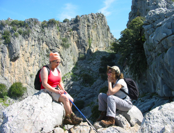
Grazalema-Villaluenga del Rosario (13 km, 4-5 hours)
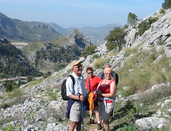
This route takes you right into to the heart of the Nature Park Grazalema. You will first climb through the Sierra de Endrinal to reach an altitude of 1200m and pass close to the highest peaks Reloj (1545m) and Simancón (1566m). This height gives you the most beautiful views until the Sea and the Rock of Gibraltar! You also may see some big birds with wide wings and a short, square tail circulating high. Without any doubt it is a griffon vulture that takes advantage of the cornice and the cracks that the cliffs of these mountains offer for nesting. At the end of the route you have a steep downhill to the beautiful white village Villaluenga del Rosario, the highest village of the province of Cádiz.
Villaluenga del Rosario-Montejaque (19 km)
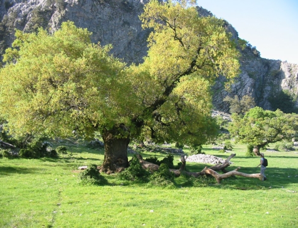
Today is a long walking day. We continue walking through impressive limestone rock formations, including the Sima del Republicano. In this beautiful landscape of Holm oaks, you may even see the Iberian pig, a race you only find in Spain, looking for acorns under the holm oaks! Where they slowly fatten to later make the best Spanish Ham (Jamon Iberico). Later you get to the Líbar plains, hiking gently over this deserted landscape to the white village Montejaque. (6 hours, 230m ascent, 400m descent)
Montejaque - circular route (11-15 km)
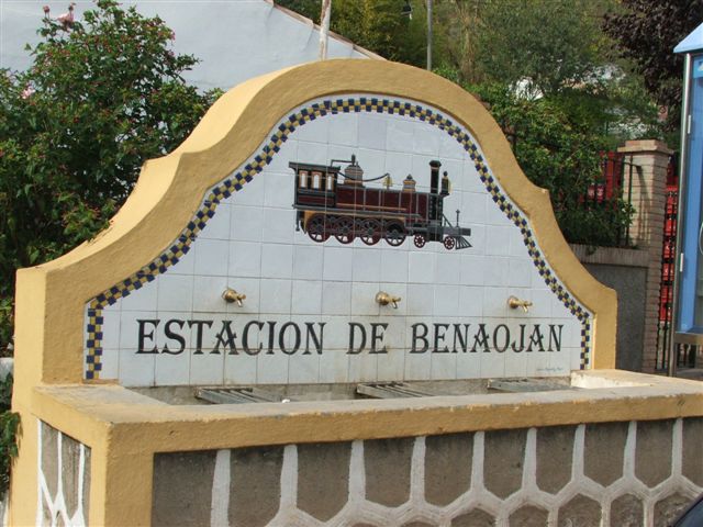
Today you make a route in the surroundings of Montejaque. You first head down to the station of Benaoján from where you take the beautiful Royal Cattle Track “Campo del Gibraltar” along the river Guadiaro to Jimera de Líbar. Here you can have lunch in a good restaurant beside the train station before returning by train (in only 8 minutes) to the station of Benaoján. From the station of Benaoján you can reach the impressive Cueva del Gato walking (half an hour back and forth) before walking back to Montejaque. (Walking time: 3-4 hours, Distance: 11-15 km, Ascent: 260m and Descent: 380m)
Montejaque - Ronda (11 km)
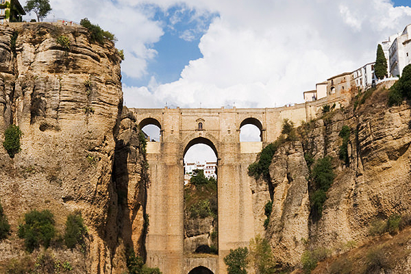
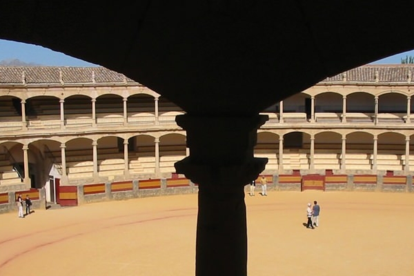
Today is a gentle hike along the ancient Ronda trail that connects the two villages. The landscape here is a mixture of wild and tame, with big, old trees (such as Carobs and Cork), arable land, wild flowers…to finally come out at the bottom of Ronda’s gorge and climb from here to the town´s new bridge. In the afternoon you can visit the many highlights of Ronda. This is probably the town that best conserves the romantic heritage described in the journals and drawings of so many 18th Century travellers. Not to be missed are her Moorish and classical architecture, palaces and monuments, her bridges, bullring, her tapas bars, Moorish baths, etc. (Walking time: 3-4 hours, Distance: 11 km, Ascent: 350m and Descent: 300m)
Ronda, end of the journey
If you have not booked an extra night, your the journey will have come to an end and from here you return by bus (2 hours) to Málaga airport.
 Salto del Cabrero